
Water policy wonks like us at PPIC spend an extraordinary amount of time analyzing information from the past, trying to understand the present, and modeling or speculating about the future. All this work goes toward identifying policy changes that might help California better manage its water. But for all our efforts, nothing improves our understanding of water like a “stress test,” whether that test is severe drought or extreme wet. And it is starting to look like we are going to get one of those stress tests this spring in the San Joaquin Valley.
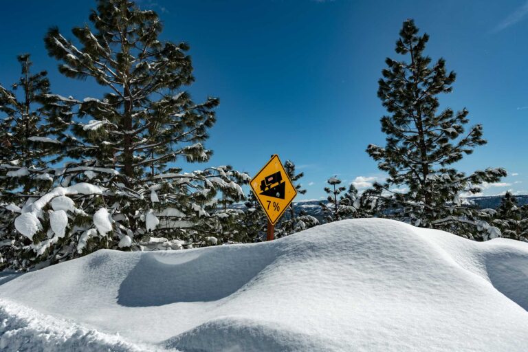
As news outlets have been reporting for some time, there is an “epic” snowpack in the central and southern Sierra Nevada, rivaling or in some cases exceeding the record snowpacks of the 1982–83 El Niño water year. And while Californians have been laser focused on managing drought over the past decade, it’s now time to start thinking about what to do with too much water, at least in the San Joaquin River and Tulare Lake basins.
For both basins, the obvious benchmark is the winter of 1983. Snowmelt—along with rainfall runoff—led to flooding and localized levee failures along the San Joaquin River. But the big story of that year was the sustained springtime runoff into the Tulare Lake Basin and the re-emergence of Tulare Lake.
It is easy to forget that the Tulare Basin once held a very large lake, covering more than 1,000 square miles. The lake was very productive, with vast tule marshes teeming with fish and waterbirds that supported numerous Native American tribes. In very wet periods, it got deep enough (more than 40’ deep) to spill over into the San Joaquin River. In surface area, it was the largest water body west of the Mississippi, surpassing even the Great Salt Lake.
But in the 1900s, inflow to the basin was tamed by a combination of levees, dams, and canals, allowing farming throughout the region. Despite this, every few decades, nature recaptures a portion of the old lakebed when flows from the four rivers that drain into the basin—the Kings, Kaweah, Tule, and Kern—overwhelm the ability of landowners to move water around to avoid flooding their fields.
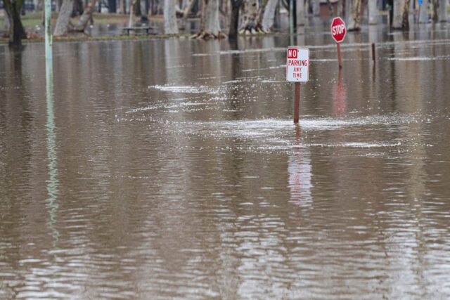
Although the winter storms of 1997 recreated Tulare Lake, it was the long-lasting spring snowmelt of 1983 that produced the most significant flooding in living memory. More than 100,000 acres of farmland were submerged. This amount of water is not easy to get rid of. Some soaks in and recharges aquifers (which is much needed, since this part of the valley is home to some of the most dramatic groundwater overpumping). Some water simply evaporates under the valley’s hot sun. But most of it just sticks around unless it’s pumped out of the basin and into the San Joaquin River. This is no simple undertaking, requiring large pumps and a lot of time. After the 1983 snowmelt, it took nearly two years to restore the dry lake bed so that farming could resume.
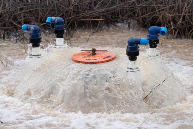
It is reasonable, given the immense snowpack, to anticipate and prepare for a very wet spring in the Tulare Lake Basin and the adjoining San Joaquin River Basin. But there is an unanticipated wrinkle this year. For the past decade, extensive groundwater withdrawal has lowered portions of the Tulare Basin, including areas both in and around the historic lake. This is likely to have two impacts. First, flooding may affect a potentially wider area that’s now lower and within reach of flood waters. Second, even though infrastructure that’s used to move water around in the Tulare Basin is critical to managing floodwaters, subsidence has altered the slope of many irrigation canals, reducing their capacity to move water. It’s not yet clear how this will impact flood management, but it could pose a challenge.
Finally, the impacts of subsidence on the flooding of Tulare Lake will really depend on how fast the epic snowpack runs off. At the time of writing, one potent atmospheric river impacted California just before the weekend, and another system is following close on its heels. This will mostly speed up the melting of low-elevation snow, where snowpacks are easily warmed and melted by these rains. At high elevations, these storms are likely to just add to an already thick snowpack which, like clockwork, will start to melt after April 1.
This spring will provide an important stress test of the Tulare Lake Basin: too much water—rather than too little—for a change. There will be much-needed groundwater recharge, and demand for irrigation water will be low, but if this spring is anything like 1983, there will be major disruptions to the farm economy in the region.