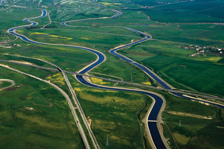
California has struggled to manage its water effectively for more than 30 years. Today, the state needs to consider a set of wide-ranging reforms-for the benefit of the economy and the environment.
To view individual chapters, click on the links below.
Floods, Droughts, and Lawsuits: A Brief History of California Water Policy
Urgent and Fundamental Challenges
Reconciling Ecosystems: Reversing Declines in Native Species
Orchestrating the Management of Water Scarcity, Quality, and Flooding
Managing Water as a Public Commodity
Topics
Drought Floods Freshwater Ecosystems Paying for Water Water Supply Water, Land & Air