

Sacramento River Delta
Authors
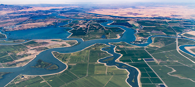
Numerous waterways snake through the delta where the Sacramento River and San Joaquin River meet. Visible in the photo is Bethel Island, Franks Tract State Recreation Area, Mandeville Tip County Park, and Brannan Island State Recreation Area.