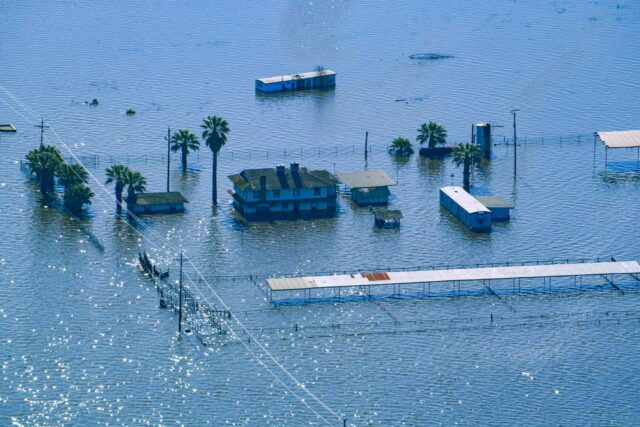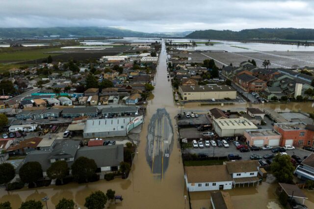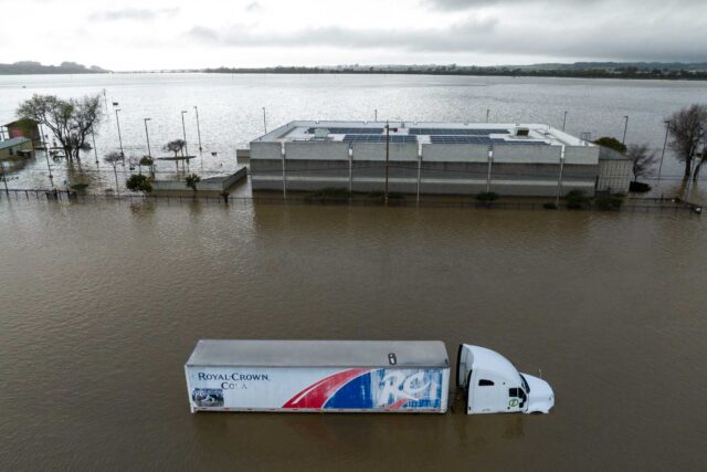

The media coverage of the floods in San Diego last week has been breathless—and for good reason. High waters carried cars for miles, people were wading through chest-deep waters, and many low-income communities bore the brunt of the flooding. But was this actually a 1000-year flood? We looked to PPIC research network member Brett Sanders and PPIC Water Policy Center senior fellow Jeffrey Mount to untangle truth from fiction.
What caused the flooding last week in San Diego?
Brett Sanders: A winter storm came in off the ocean and dropped over 3 inches of rain in parts of San Diego County over a period of 6–10 hours. The rain was heaviest in the metro area, and we saw high flows in the San Diego River and the overtopping of channel banks along Chollas Creek. Drainage systems were overwhelmed too, blocking highways and roads and flooding some homes.
Jeffrey Mount: City officials said this was a 1000-year event, beyond what any infrastructure system could handle. However, one should always be skeptical about extrapolating to 1000-year events, given our limited historical record. And the floods themselves were not unprecedented, so we must be careful about over-interpreting the intensity of this storm or assuming it will never come again. Still, it was an impressive series of thunderstorms that tracked right into San Diego and paused to dump a lot of rain.
Why were the flood impacts so severe?
Brett: The most severe flood impacts occurred in areas FEMA designated as 100-year floodplains. The area along Chollas Creek is known to be flood-prone, and the channels were clogged with trash and debris. What’s especially concerning is that community members had voiced concerns about the lack of maintenance and urged local officials to take action.
Jeff: San Diego has made important progress on flood management in some areas, but they have a long way to go. They’re about $2 billion short of the funding they need. And it’s clear from news reports that maintenance was lacking in some communities.
Should communities expect better flood management from governments?
Brett: To be fair, there are some real challenges. Most flood control channels in Southern California are designed for clear water flows with no sediment and no debris. But they’re surrounded by highly erosive mountains, so lots of sediment gets swept into these waterways during high-runoff events. Trash and vegetative debris also collect in these channels during dry-weather periods, and they become dumping grounds for all types of waste. When channels are filled with sediment, vegetation, and other debris, they have less capacity to carry away floodwaters, which increases flood risk for communities.
Municipalities have limited budgets, and they often can’t work on a channel during times of the year when they might disrupt wildlife. When sediment sits in the channels long enough to form fully vegetated wetlands, the wetlands are protected under environmental laws and it becomes difficult to get a permit to clear the channel.
Jeff: What’s especially concerning here is that the community impacted by flooding was disproportionately Black, Latino, and underserved, repeating a pattern seen all over Southern California and the US. The same scenario played out last year in Monterey County on the Pajaro River and in parts of the San Joaquin Valley.
What can be done to better protect vulnerable communities?
Brett: There’s no quick solution. Flood insurance is a great way to reduce economic risk. If you’re a renter, you are eligible for National Flood Insurance Program support to insure your belongings—but your landlord is responsible for insuring the building. Disaster aid usually moves too slowly to help the populations who bear the brunt of these events. Community insurance, which cities can buy, hasn’t gained much traction yet—but the idea is to offer a fixed payout that immediately pumps money into communities. Right now, more than a thousand people in San Diego likely need a cash infusion to help them find a new place to live and not lose their jobs while trying to recover.
Jeff: The infrastructure protecting low-income parts of California isn’t holding up. Often, it isn’t designed to deliver the same level of protection as in more affluent areas, and it isn’t properly maintained. Policymakers need to find ways to speed up infrastructure maintenance and construction. The permitting processes in play today make it really tough on public agencies. And these communities often struggle to find funding for flood planning and mitigation.
Brett: More needs to be done to raise awareness of flood risks, and that’s tough in a state facing drought, heat, wildfires, and earthquakes too. We need to better map—and communicate—flood risks, accounting for all the factors that could trigger flooding, including rainfall, streamflow, high tides and waves along the coast, and infrastructure failures. We should also talk about pre-disaster planning for post-disaster action. Do cities have a restoration plan for the day after the flood—one that aligns with community values and aspirations? The period right after a flood is often the best time to work to reduce future risk while trying to make communities whole again.