

The Sustainable Groundwater Management Act (SGMA) is now in its tenth year since passing in 2014, and we are beginning to see some real progress in coordination and implementation. Groundwater sustainability agencies (GSAs) have been formed and initial groundwater sustainability plans (GSPs) submitted. Following submission, some plans have been approved, some are still under state review, and many have gone through some iteration to correct deficiencies. In an earlier series, we looked at the early stages of GSP development and planning in the San Joaquin Valley. Now that the Sacramento Valley has made similar progress, we look at these plans and what they mean for sustainable groundwater management.
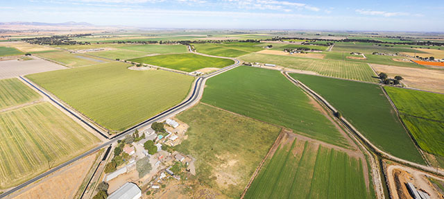
Much recent attention towards groundwater sustainability has focused on the heavily overdrafted San Joaquin Valley. However, the Sacramento Valley also needs to bring its groundwater basins into balance and avoid significant undesirable results of pumping. This can be a particular challenge during extended dry periods, such as the recent 2020–22 drought, which heavily impacted the region. Indeed, the Department of Water Resources recently sent plans for five Sacramento Valley basins back for revisions, largely due to ongoing concerns around dry-year impacts of pumping on drinking water wells and land subsidence. Here we review the region’s GSPs to understand how they’re estimating overdraft and how much overpumping they found. An accompanying dataset provides details for each basin.
How is overdraft estimated?
Overdraft occurs when more groundwater is pumped than is replenished over time. As we explained in a 2020 post on the San Joaquin Valley, GSAs must develop several kinds of water budgets for their basin. These budgets track water coming into and going out of the groundwater basin, and they’re used to assess groundwater conditions and inform management plans.
GSAs have some flexibility in determining how they measure groundwater conditions in their area. Their historical water budgets—which are most commonly used for planning purposes—must include at least 10 years of continuous data. Meanwhile, current budgets should document the most recent conditions in the basin, and projected budgets must look about 50 years into the future, considering changes in climate, population, and other relevant factors. GSAs are not required to choose a representative mix of wet and dry years when they develop their historical water budgets, and plans for different basins can use different timeframes. This lack of consistency in calculating overdraft can make it hard to develop comparable measures of basin conditions across the region.
The figure below shows historical water budget timeframes for each basin. They vary considerably: most Sacramento basins chose periods spanning from the 1990s to the mid- to late-2010s, but some plans go all the way back to the 1970s—including several decades that were wetter on average than those since 2000. Notably, most plans also include the bulk of the 2012–16 drought. All basins provided data for the years 2000 to 2015.

What is the magnitude of overdraft?
The figure below summarizes several measures of average annual overdraft: the GSPs’ preferred estimates—based on a mix of timeframes—along with two estimates for periods where all 16 basins provide data. The 2003–10 period, while short, was hydrologically balanced, and it corresponds to the overlapping years in the San Joaquin Valley plans. The 2000–15 period was relatively dry, and it provides a window on how overdraft might look if the drier trends California has experienced since 2000 persist.

Key takeaways? First, as expected, chronic overdraft in the Sacramento Valley is far lower than in the San Joaquin. For 2003–10, San Joaquin Valley overdraft averaged 1.9 million acre-feet per year, versus roughly 120 thousand acre-feet (taf) in the Sacramento Valley. Although the Sacramento Valley is somewhat smaller—with about 40% of the irrigated acreage and 75% of the population of its neighbor to the south—this still represents a much smaller groundwater deficit to address, both in acre-feet and proportionally. Second, as in the San Joaquin Valley, half of the Sacramento Valley basins picked a more optimistic (that is, lower) estimate of overdraft for planning purposes: region-wide, the preferred estimate is just 68 taf per year, roughly half the level for 2003–10. Third, drier hydrology amplifies the overdraft problem: for 2000–15, overdraft was more than double the 2003–10 level, and nearly four times the preferred estimate.
What’s next?
Estimating overdraft as accurately as possible is a critical step towards understanding how to address the issue. In a forthcoming post, we will assess the projects and management actions that plans are considering to reach groundwater sustainability—and what this might mean for the region and beyond.