
Only about 5% of the Central Valley’s historic wetlands remain, but in the heart of the San Joaquin Valley, a unique wetland persists. How has it survived? We spoke with Grassland Water District general manager Ric Ortega to learn more.
 First, tell us about the Grassland Ecological Area.
The Grassland Ecological Area is a mosaic of private, state, and federal wildlife areas located in Merced County. It covers 240,000 acres, or 375 square miles. It is vast, and it’s all habitat—the remnant of an enormous, 4-million-acre wetland that stretched across the Central Valley until about 150 years ago.
This area was historically of high importance to the Northern Yokuts Tribe, but it began to change during the Gold Rush. We started to see major collapses in migratory bird populations towards the end of the 19th century and beyond.
The construction of the Friant Dam, one of the first facilities of the Central Valley Project (CVP), diverted more water away from this wetland complex in the 1940s. Wildlife populations crashed, and a long history of litigation and landscape alteration began. A coalition of cattlemen and duck hunters began to work together to demand the federal government mitigate the harms caused by the CVP.
In 1992, the first Bush Administration signed the Central Valley Project Improvement Act (CVPIA) into law. It directed the Department of the Interior to deliver a reliable water supply to 19 wildlife refuges, extending from the Sacramento Valley down to Kern County.
That was a major win for the environment. All of a sudden, we felt like we could do more for wildlife as a whole, and especially for overwintering migratory birds.
The CVPIA included the Grassland Resource Conservation District, a group of 160 duck clubs, as one of the 19 refuges to receive a firm water supply going forward. Not a lot of people know that two-thirds of the Central Valley’s remaining wetlands are privately held by duck hunting clubs.
How do you maintain the health of these wetlands?
The 19 wildlife refuges receive two-thirds of their water from the CVP, but the other third needs to come from willing sellers. Each year, the federal government competes on the open market to make the refuges whole.
The perpetual challenge is figuring out how to close that gap. We’ve always fallen short. The Refuge Water Supply Program only has about $10 million annually to acquire 100,000 acre-feet of water. That would equate to $100 per acre-foot of water, and it’s just not available on the open market at that price.
When I came into this role, I realized there had to be a better way. We needed to work more collaboratively with agricultural water users, as well as municipal and industrial water users, to figure out solutions. What if we built projects together?
We’ve built some great projects with the San Luis Delta-Mendota Water Authority that are both benefiting the environment and providing additional water supply for agriculture. That’s been great for the regional economy because we don’t have a lot of industry. We’re working with cities on the advanced treatment of wastewater. Treated wastewater from the North Valley Regional Recycled Water Project comes to the wildlife refuges in the fall and winter and goes to agriculture for summer irrigations.
We’re building lots of efficiencies locally. We’re modernizing our water conveyance systems and changing operations of reservoirs to allow for more flexibility.
How are these wetlands benefitting local towns and neighbors?
This ecological area lies wholly within Merced County. Out here, groundwater quality is a big challenge. Most county residents rely on groundwater for drinking. So we’re not putting all this water on the landscape just for wildlife, endangered species, or biodiversity—it’s literally the water that comes out of your tap.
Wetlands act like the kidneys of society. Nitrogen from agricultural runoff has a nasty way of getting into groundwater, harming domestic wells and municipalities. These wetlands are a giant nitrogen filter: any water with nitrogen in it comes into the wetland complex, plants take it up, and the water that flows out (and down into groundwater) is nitrogen free.
The wetlands complex also aids groundwater recharge and flood control by slowing down the flow of water. It allows us to mitigate some climate extremes.
Wetlands are also great at slowing and storing water, which helps with flooding. In the winter of 2023, Los Banos came very close to flooding. Our team was out in the field moving water around so that the wetlands could absorb and hold as much as possible to keep it away from the town. We got to within a half inch of overtopping some of the levees, but we did it!
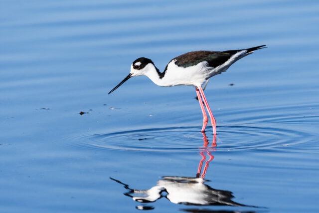
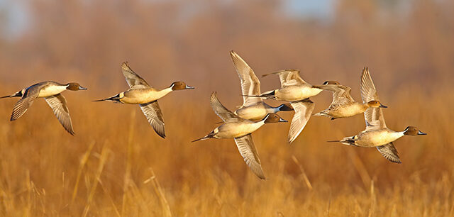
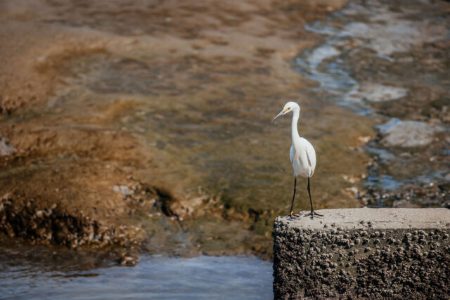
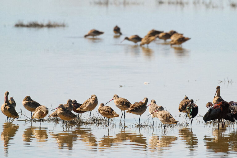
We also host one of the largest migrations anywhere on earth: the Pacific Flyway. Monterey Bay and Yosemite Valley pale in comparison from a biodiversity perspective. We’ve got 400 species of plants and animals, 250 species of birds, and dozens of endangered species out here. This area reminds us of what nature is like in the valley and how biodiverse and beneficial wetlands in California can be.