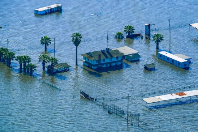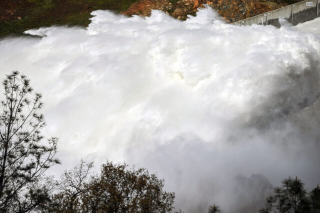

“Weather whiplash” has become a reality in California: this year, the driest three-year period on record was broken by a spate of near-record precipitation. This variability has many clamoring for more accurate seasonal predictions, which could help the state better manage its water supply, prepare for disasters, and maintain economic health. But that’s not as easy as it sounds, says Dr. Xianan Jiang, a researcher with UCLA’s Joint Institute for Regional Earth System Science & Engineering. We asked him to tell us more.

You recently published a paper explaining why it’s so hard to make long-range weather forecasts. Why do forecasters get seasonal predictions wrong so often?
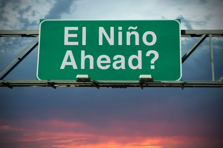
California’s precipitation mainly occurs during the winter season. To achieve reliable seasonal predictions, we need to predict the circulation patterns over the North Pacific Ocean, because these patterns closely control atmospheric river activity—the storms that deliver most of California’s precipitation. We usually rely on sea surface temperatures over the tropical Pacific Ocean to make seasonal predictions. When there are warm sea surface temperatures, it means that El Niño-Southern Oscillation (ENSO) conditions prevail over the tropical Pacific—and we’ll usually see a low-pressure system off the California coast. This low-pressure system leads to wet conditions over the winter. On the other hand, dry conditions in California are often linked to cold sea surface temperatures over the eastern Pacific Ocean, which we call La Niña conditions.
However, in our recent paper, we found that although we can relatively skillfully predict tropical sea surface temperatures over the eastern Pacific several months ahead, this surface temperature variability only explains about 25% of the year-to-year variability in California’s precipitation. The rest is largely determined by circulation patterns independent of ENSO. After we examined predictions from three state-of-the-art models, it really surprised us that our current climate prediction models have almost no skill in predicting the non-ENSO circulation patterns. This is why the seasonal prediction for California precipitation is so challenging. If we make a prediction based purely on tropical sea surface temperatures, it just won’t be accurate.
Was Water Year 2023 an example of this? Last December, we were panicked about a fourth year of drought, and then everything changed.
Last winter was indeed a very good example of this. The tropical sea surface temperatures last winter were very similar to those of the extremely dry 2021–22 winter. Both featured La Niña conditions, with cold surface temperatures over the tropical Pacific Ocean, which is generally linked to dry conditions. Based on that La Niña condition, NOAA’s official seasonal prediction in October 2022 forecasted dry conditions in the southwestern US, but last winter turned out very differently: it was one of the wettest winters in California history.
Is there a way to better understand this circulation pattern?
We hope our study will motivate more efforts to understand the processes controlling circulation patterns beyond the influences of sea surface temperature in the Pacific Ocean. For example, we don’t know why the atmospheric rivers were so active last winter. In addition to the El Niño and La Niña conditions, generally the researchers found that circulation patterns off the California coast could also be closely associated with tropical convection (i.e. tropical clouds and thunderstorms), such as the so-called Madden-Julian Oscillation, and the stratospheric polar vortex in the Arctic region. Right now, our climate prediction models cannot skillfully predict the circulation patterns associated with both tropical convection and the polar vortex variations. The polar vortex is a very large, long-lived, rotating system located near the north or south pole.
Is there a technological breakthrough out there that might improve our long-term forecasting, or are we just stuck with this uncertainty for the indefinite future?
There’s an urgent need for a reliable forecast of California’s precipitation as the state faces more prolonged droughts and more intense storms. There are two directions to take. One is to improve our understanding of circulation patterns beyond El Niño that are crucial for California precipitation, and particularly the key processes in generating these circulation patterns. This will provide important guidance for predictions. Another direction is to improve our climate prediction models, possibly through the increase of model resolutions made possible by faster supercomputers. Increasing the model’s resolution will make this model better able to depict the key elements of the non-El Niño/La Niña influences on seasonal precipitation. This could improve seasonal predictions of circulation patterns, and thus California precipitation. But both of these directions will take time. We’ll gradually improve, but not within the next year or two.