


California is using a commission-led redistricting process for the second time in its history. The independent body—the Citizens Redistricting Commission (CRC)—recently released draft maps, and is currently collecting feedback on these plans over a legally mandated two-week period. In an earlier post, we evaluated the maps in terms of racial/ethnic representation and expected partisan outcomes. Here we examine their geography, including how they relate to other political jurisdictions.
Oddly-shaped districts often arouse suspicion. But many positive goals might conflict with drawing simple shapes. In fact, the two highest-priority mandates for the CRC—making districts equal in population and promoting representation for communities of color—are only loosely connected to geography.
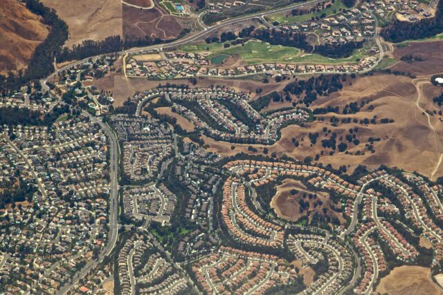
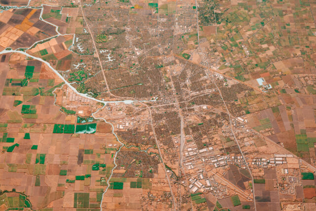
Nonetheless, the law does require that the CRC satisfy a variety of geographic criteria as much as it can. It is supposed to avoid splitting cities, counties, and communities with common interests (“communities of interest”) into multiple districts. Commissioners are also supposed to draw districts that are compact, in the sense that they favor communities near each other over ones farther afield. And they are supposed to “nest” two assembly districts within each senate district to promote continuity of representation across the state legislative chambers. All of these criteria are ranked: keeping cities, counties, and communities of interest whole takes precedence over compactness, which in turn supersedes nesting.
The table below compares the existing maps with the drafts on most of these dimensions. (We offer no account of communities of interest because there is no consensus measure of this concept.) The current maps are especially useful as a baseline, since they already reflect many of the geographic constraints the CRC faces. The drafts split more counties than the existing maps—three more in each plan. However, they split far fewer cities than the current maps, leaving between 9% and 12% more incorporated places intact.
The next priority for the commission is compactness. The table shows the average Polsby-Popper score (a common measure of compactness) for both the current and draft maps. Higher scores mean better compactness, with a maximum value of 1.0 for a perfectly compact plan. The draft assembly and senate maps are a little less compact than the current maps, though all the maps scored in the table fall far short of perfection.
The lowest-ranked criterion is nesting. With perfect nesting, exactly two assembly districts would be nested in each senate district on average. The current maps have 4.95 assembly districts per senate district, while the draft plans have 5.35, meaning the draft maps are less well-nested than the current ones.
Apart from keeping more cities whole, the draft maps have made little improvement over the existing maps on these geographic criteria, and in many cases have made them slightly worse. Perfection was never realistic; the higher-priority mandates of equal population and representation for communities of color often limit the geographic options. Instead, discussion should now focus on whether the CRC missed opportunities to advance geographic criteria without compromising those higher-priority concerns. The CRC has until December 27 to adopt final maps. PPIC will continue to monitor the process and offer analysis as it unfolds.
Topics
Census decennial census elections Political Landscape political parties political representation redistrictingLearn More

How Would the Prop 50 Redistricting Plan Affect Racial and Geographic Representation?

Do California and Texas Have Gerrymandered Districts?
The California Background to the National Redistricting Fight

Understanding the Geography of California’s Final Redistricting Maps
Racial Representation and Partisan Leanings in California’s Final Redistricting Maps