


Recent Publications


Blog Posts
View More →
Fewer Participants Ease Medi-Cal Budget but Add to Growing Uninsured
Paulette Cha

What California’s Next Governor Needs to Know about PK–12 Education
Laura Hill, Julien Lafortune
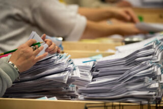
How Do County Registrars Think about California’s Election Certification Process?
Jennifer Paluch, Mary Severance

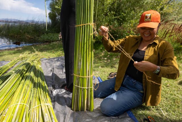
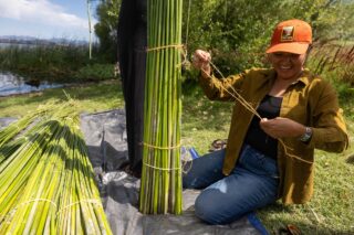
Our Nation’s Founding Documents Matter to Californians
Mark Baldassare, Tani Cantil-Sakauye
Events
View More →
The Future of Civic Engagement
July 23, 2026 · 12:00 pm - 1:15 pm

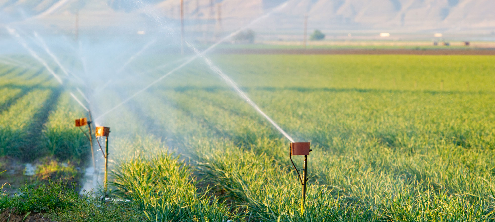
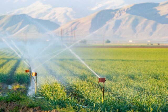
SGMA-Ready Crops for the San Joaquin Valley
July 28, 2026 · 11:00 am - 12:00 pm
Fact Sheets
View More →
Higher Education Funding in California
Kevin Cook, Valerie Lundy-Wagner

California’s Economy
Daniel Payares-Montoya, Sarah Bohn

California’s Nutrition Safety Net
Tess Thorman, Patricia Malagon
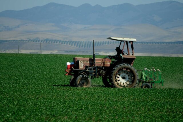
Tribal Water Rights and Water Use in California
Brian Gray, Letitia Grenier
